Ozarks Data
Ozarks Data
The Ozarks is more than a collection of towns and attractions. It is a region shaped by rivers, weather, settlement and change.
Ozarks Data turns public government datasets into clear regional visual stories. Each page shows the source, geography, time period and method behind the numbers.
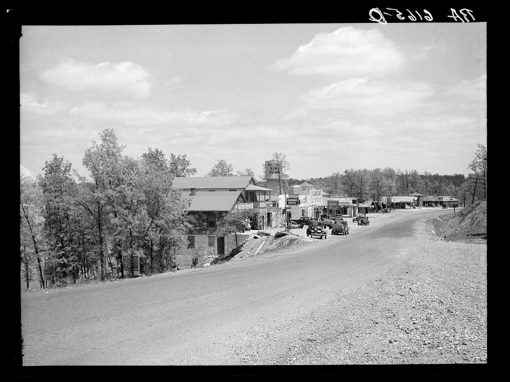
Water Pulse of the Ozarks
Seven rivers, twenty-four water years and one clear seasonal rhythm. See how major Ozarks rivers rise and fall through a typical year.
Explore the riversPeople of the Ozarks
Population growth, migration, age and housing change across a reproducible 69-county Ozarks area.
Explore the peopleFour Seasons of the Ozarks
A regional climate portrait built from NOAA's 1991–2020 climate normals, with temperature, precipitation and local station comparisons.
Explore the seasons